Circinus
the Drawing Compass
the Drawing Compass
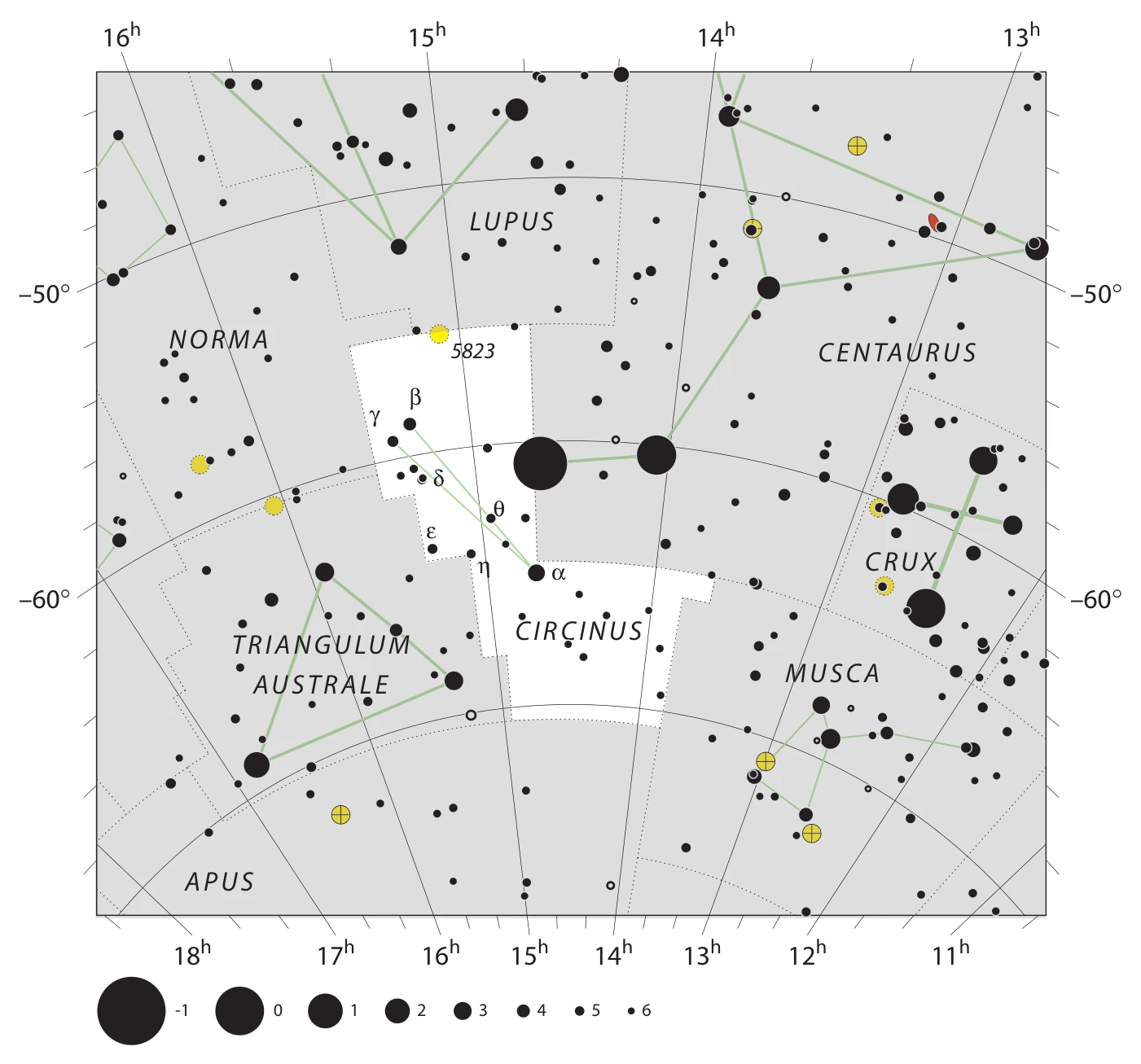
Fixed J2000 coordinates
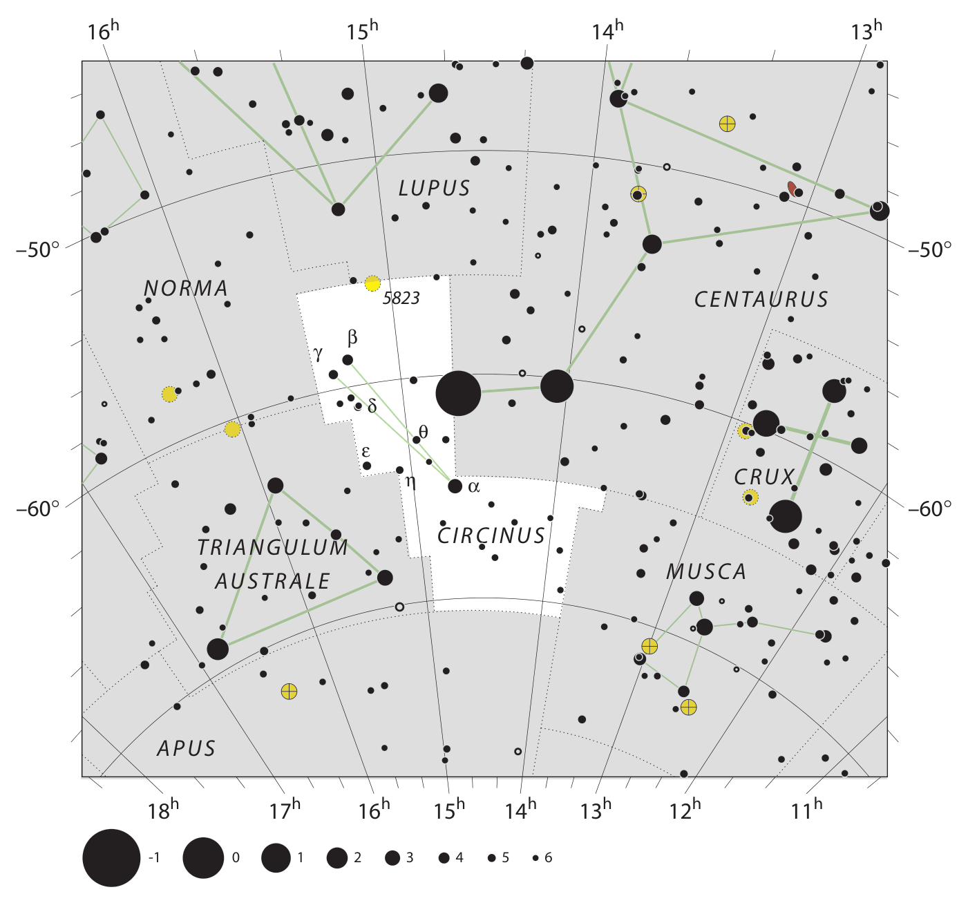
Image downloads
How to read this chart
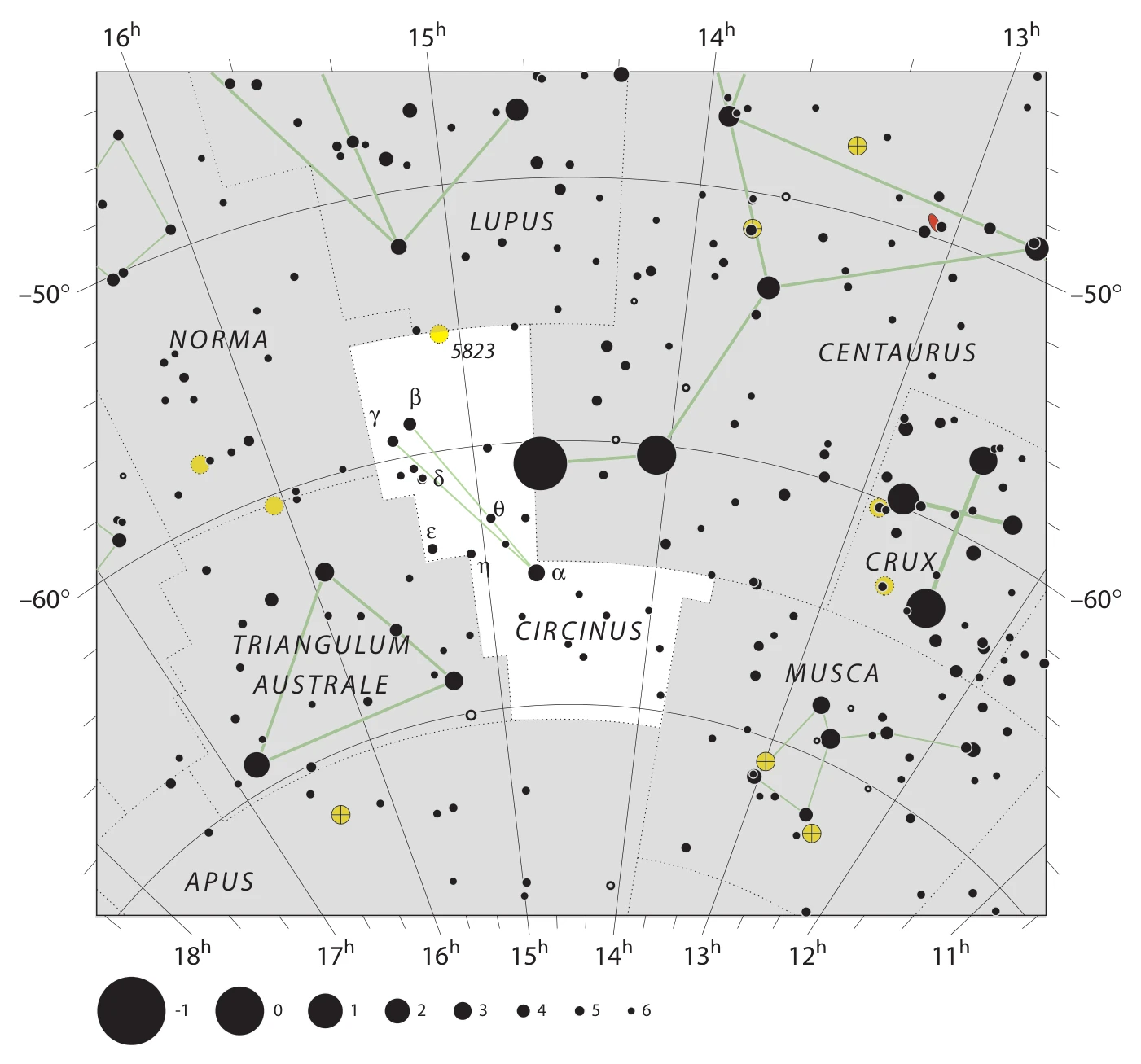
Dots mark stars, and their sizes indicate brightness. Stars appear dark on light charts and light on dark charts. Green lines show a constellation pattern. The surrounding grid gives right ascension and declination.

This is a fixed reference map, rather than a view of tonight’s sky.
Read the full chart guide →Boundary coordinates
The boundary marks a sky region; it is separate from the green star pattern. These files preserve ordered coordinate points in the J2000 reference system.
View coordinate format & sample
Right ascension uses hours, minutes and seconds. Declination is in degrees. Convert right ascension to degrees with 15 × (hours + minutes/60 + seconds/3600).
RA (h m s) | Dec (degrees) | Abbreviation
13 38 43.2687 | -64.6379395 | CIR
13 38 49.7951 | -65.6378784 | CIR
13 49 04.3255 | -65.6249542 | CIR
13 49 50.6089 | -70.6244431 | CIR
14 56 39.9459 | -70.5115433 | CIR
The 0h / 24h meridian is continuous. A coordinate jump there should not be treated as a straight line across a flat map.